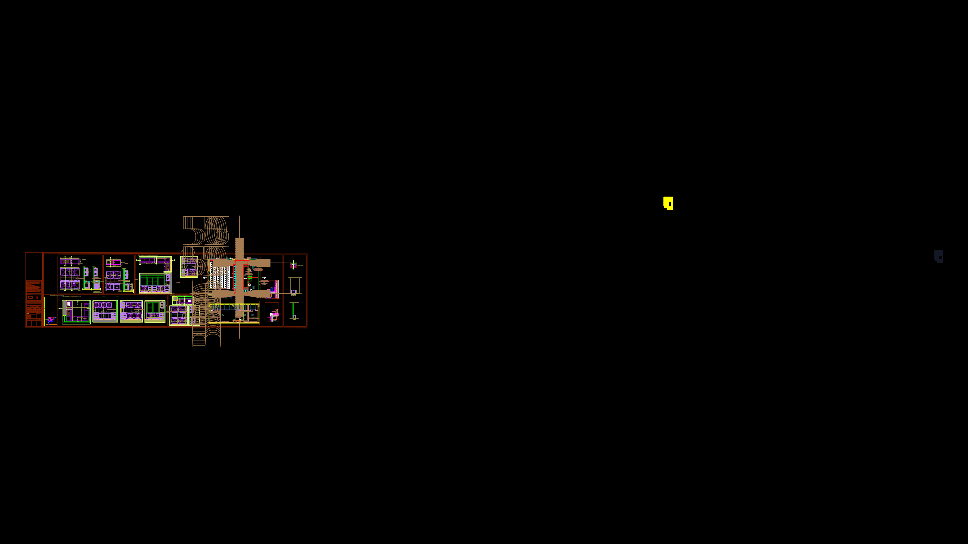
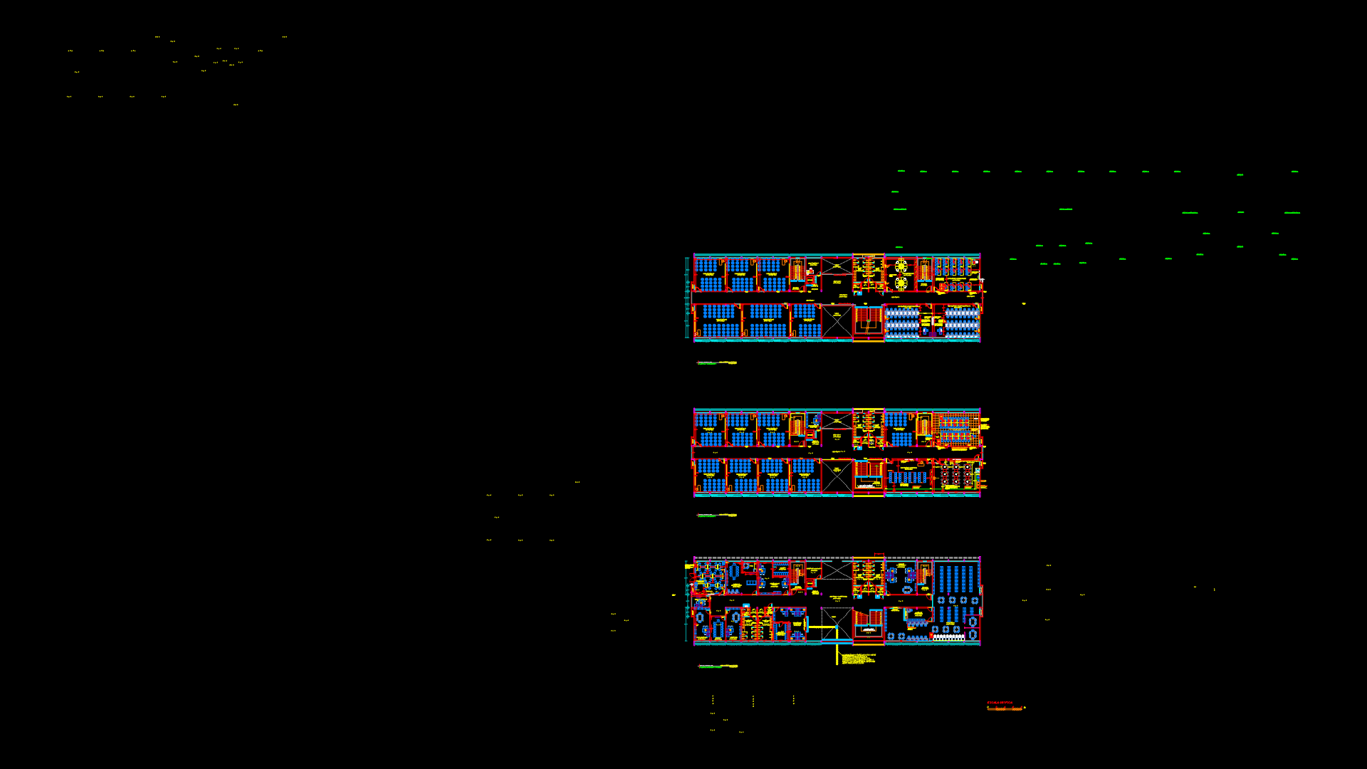
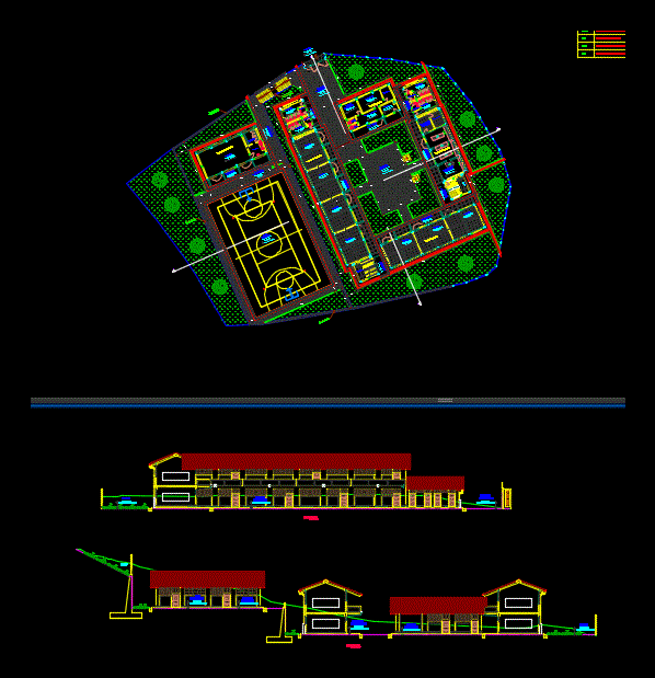
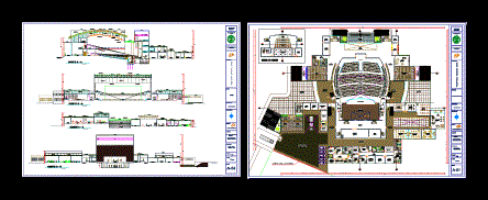
Laboratory Water Resources; Geomatica – Sig And Topography DWG Plan for AutoCAD

AND A DEMONSTRATION AREA FOR IRRIGATION AND DRAINAGE IN UNALM – Plans to detail level laboratories
Drawing labels, details, and other text information extracted from the CAD file (Translated from Spanish):
height, water source, irrigation channel, irrigation channel, high voltage cable, vehicular income, track, i.n.d.d.a., main, income, to v. University, location, npt, beam projection, name of environment, level of finished floor, axes, cuts, elevations, floor, title, scale, legend, masonry wall, partition wall plasterboard, tempered glass partition, partition wall plate fiber cement, notes, property limit, level change, change of floor, window sill, name of span, height, width, entrance hall, construction sections, finished roof level, level, existing construction, parking, limit ref. for the const. hydrology laboratories, clea., dep., servers, office cabinet, topographic instruments, instrument store, printing room, instrument delivery, ss.hh. women, ss.hh. men, hall, hall and reception, delivery of plans, sidewalk, sh, roof, telephone center, garden, npt., npt, nj, corridor, wall to build, green area, tank projection, laboratory, model workshop, exhibition area, technician in charge of the laboratory
Raw text data extracted from CAD file:
| Language | Spanish |
| Drawing Type | Plan |
| Category | Schools |
| Additional Screenshots |
 |
| File Type | dwg |
| Materials | Glass, Masonry, Other |
| Measurement Units | Metric |
| Footprint Area | |
| Building Features | Garden / Park, Parking |
| Tags | area, autocad, College, DETAIL, drainage, DWG, irrigation, laboratories, laboratory, Level, library, plan, plans, resources, school, topography, university, water |
