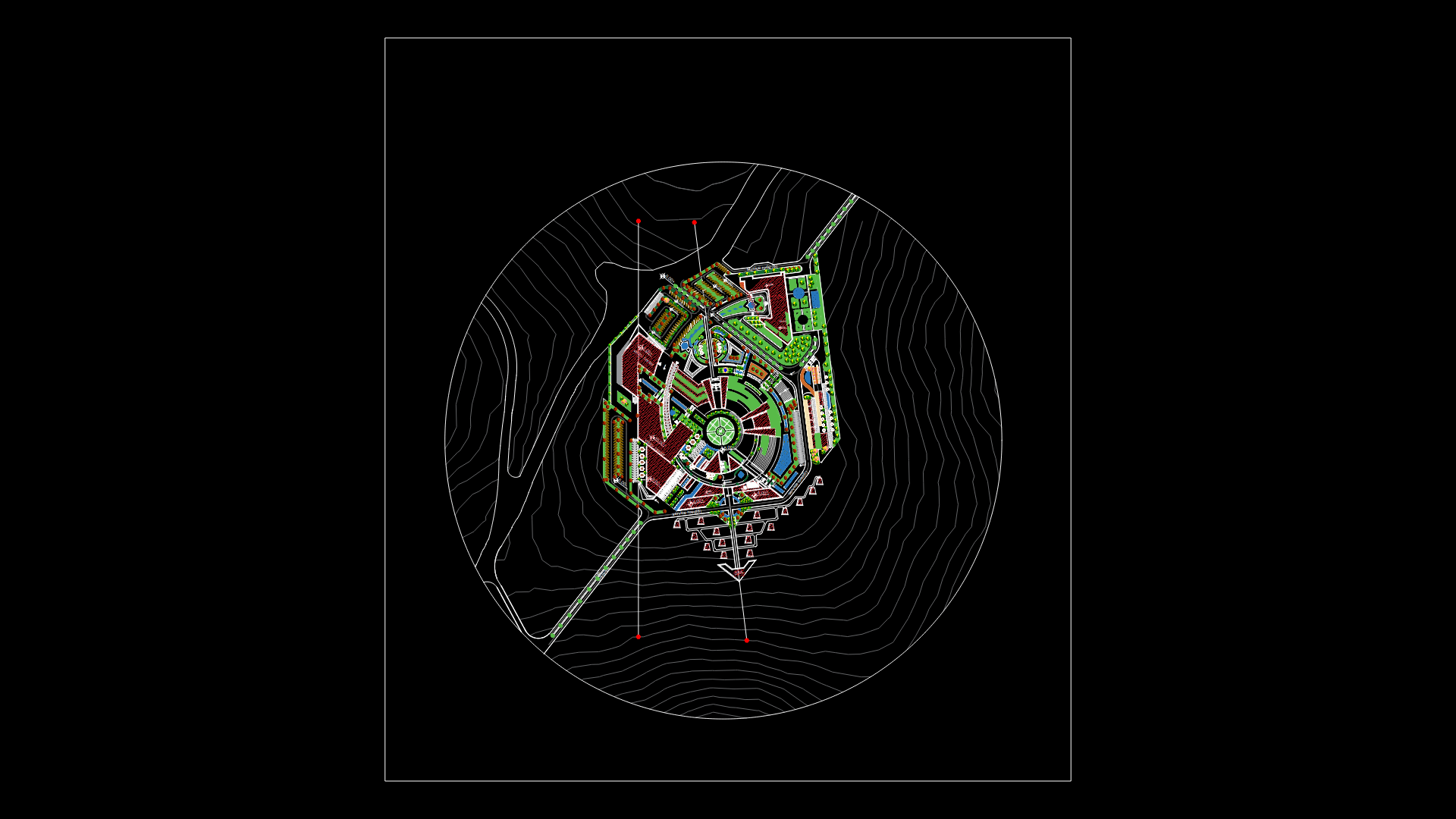
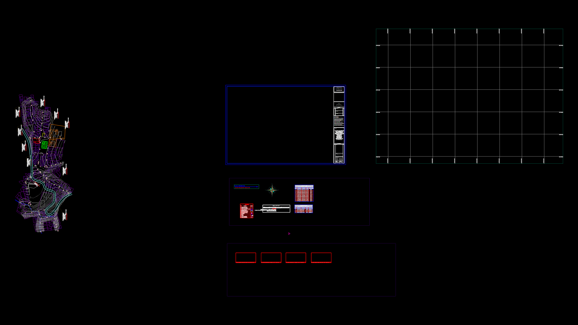
Master Plane Colima City DWG Block for AutoCAD

Colima city Master plane
Drawing labels, details, and other text information extracted from the CAD file (Translated from Spanish):
Mex, cabbage, Mex, cabbage, Utopia, Mz. lot, Urban terrain survey, division, draft, Definitive, urbanization, the, Sunflowers, Marcela perez moreno, freeway, Vr regional road, highway, Existing road, Controlled access vacancies, Vp main roads, Ac artery collector, Arteries of distribution, Local streets, Project road, Cr regional corridor, Urban corridor, Cc urban corridor, Road node, Centers of concentration of, equipment, Neighborhood center, Neighborhood center, urban center, structure, Urban, Access roads, Main ways, Collecting arteries, Regional road, Arteries of distribution, Local streets, Controlled access vacancies, Vp main roads, Ac artery collector, Road node, Cd distribution streets, Canal peñitas, Mex, Mex, Rio colima, Santa gertrudis, Fields, buzzard, Manrique, The cranes, The jasmine, Tepescuaguil, Pereyra, Program, development, urban, Colima, H. town hall, From colima, Parcel limit, Curves of en, Meters., Federal highway, State highway, Road terraceria, urban zone, current, intermittent, current, Perennial, Municipal boundary, Squad utm, Utm coordinates, board, aqueduct, channel, Basic symbology, consultant:, Arq. Xavier, Alvarez, Gutierrez
Raw text data extracted from CAD file:
| Language | Spanish |
| Drawing Type | Block |
| Category | City Plans |
| Additional Screenshots |
 |
| File Type | dwg |
| Materials | |
| Measurement Units | |
| Footprint Area | |
| Building Features | Car Parking Lot |
| Tags | autocad, beabsicht, block, borough level, city, colima, DWG, master, plane, political map, politische landkarte, proposed urban, road design, stadtplanung, straßenplanung, urban design, urban plan, zoning |


