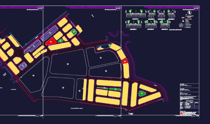
Plane El Quisco – V region beach – Chile
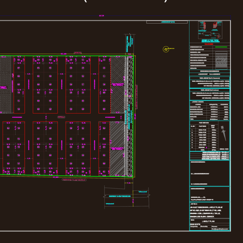
Drawing labels, details, and other text information extracted from the CAD file (Translated from Spanish):
ministry, Housing, town planning, rural areas, scale, San antonio province, Sheet location, Aerial photogrammetric survey, made by:, Geocen ltda., Technical background, date:, Photographs used:, year, Geocen, Bridge road, Secondary road, Trail footprint, Fences, Railway Line, buildings, Main drainage, Secondary drainage, lagoon, Contour lines, escarpment, green area, Flight saf lane, German villa, Base: igm cards, Secondary road, Main road, Secondary level curves, Index level curves, Dumps, commune, vegetation, The quisco, Base: igm cards, Secondary road, Main road, Secondary level curves, Index level curves, Dumps, commune