Majes Base Arequipa Utm Cadastral Code DWG Block for AutoCAD
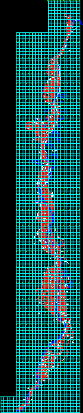
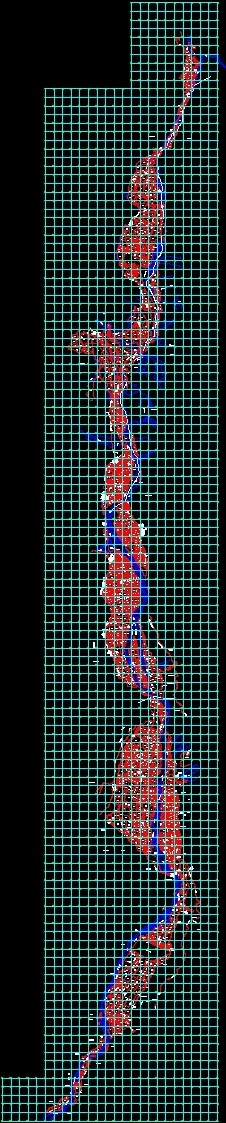
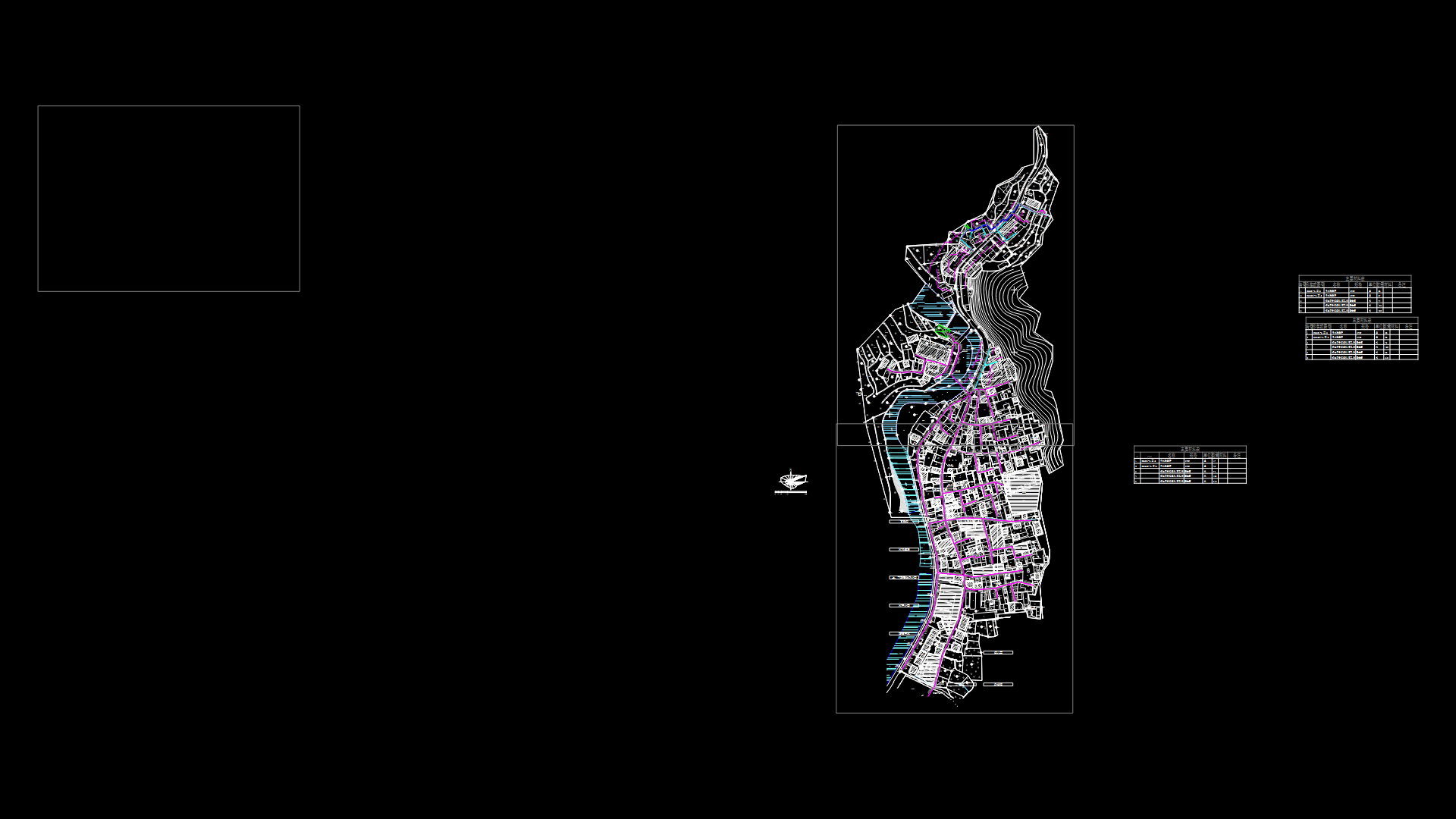
Digitizedbase sectoe of Majes – Arequipa with utm coordinates and complete Cadastral code
Drawing labels, details, and other text information extracted from the CAD file (Translated from Spanish):
zonaen litigation, area in litigation, urban area, area in litigation, zl, ditch, annex the real, the head, the mount, caspani, riomajes, bocatoma, channel the real, annex, cochate, quebrada, laja, zl, maran , river majes, road to corire aplao, uraca district, servitude, drain, river, majes, sing, agrarian cooperative, hill pitis, land eriazo, emerald town center, ladder, sector, mizzen, mill, san francisco, dike, carretere a corire aplao, trocha a toro, dead, canal, new riverbed, river majes, hill saltpeter, bridge punta colorada, monte, monte riverino, hill santo domingo, hill tomaca, trail to huancarqui, asphalt road, district of uraca, road to flat, district limit, collon farm, huancarqui district, eriazo, riomajes, populated center, the scree, torrentera, sicera, torrentera, canal sing, hill llutis, eriazo, monte ribereno, access trail, a huancarqui, querulpa, boy, reel ra, towards, flat, breasts, cornire, sunimarca, querulpa big, new, riverbed, del, rio, cerrosunimarca, distritodeaplato, area, urban, mount, town, old, uraca, trocha, cerrolabarrera, distritodeuraca, corire, la candelaria, los, petrogrifos, bull, hill, new channel, del, district of uraca, local, ex-ecasa, new, channel, paican, sahuani, hill, curino, alto sahuani, land eriazo property, state, toran, sector el puquio, san martin, cerroel, lizard, irrigation, satellite, cerropampablanca, drainage ditch, street acequia, the malvinas, access road, the valley of majes, a majes, at the junction, highway, towards, pampa, blanca, haciendaelgranado, canaldederivacion , elgranado, tarzan, council, school, sarcas, landless, infiernillo yahuariaco, checkpoint, access trail so a, annex point, red, defense, land, bridge, point, towards Arequipa, road to Corire, Cerro Punta Colorada, Ongoro channel, Cerro Yawar Orqo, arborea, and bush cover, Tunel, Canal Andamayo, Central Canal Andamayo, cp andamayo, andamayo, rio colca, river capiza, road to viraco, town, mountain rivereno, school, ongoro, shrub cover, road viraco, pampacolca, viroco highway flattening, huatiapa, arboreal and shrub cover, pasture gulch, cicera gulch, cerrohuatiapa, cerrocisara, pond, the central, road to viraco, coveragearboreayarbu stiva, pipe, good, air, huatiapilla, san jose, stadium, limit, district, hill the quarries, huancarqui, cosos, torrentera acoy, huancarqui district, ravine, hills of collpa, acoy, a chuquibamba, acoy, terraplen, ongoro, the castle, district of aplao, gorge ada huairo, a chuquibamba, quiscay, quebrada de hu atiapilla, viraco-machahuay, cd, access trail to the castle, huairo stream, cisara hill, cisara stream, ravine, aplao district, access road to the majes valley, new cause of the river, canal los puros, huairo bridge, quebrada huar, road flat, drain, road, drain road ditch, channel cosos, road ditch
Raw text data extracted from CAD file:
| Language | Spanish |
| Drawing Type | Block |
| Category | City Plans |
| Additional Screenshots |
 |
| File Type | dwg |
| Materials | Other |
| Measurement Units | Metric |
| Footprint Area | |
| Building Features | |
| Tags | arequipa, autocad, base, beabsicht, block, borough level, cadastral, code, complete, coordinates, DWG, political map, politische landkarte, proposed urban, road design, stadtplanung, straßenplanung, urban design, urban plan, utm, zoning |
Related Products

Same Contributor

Featured Products


