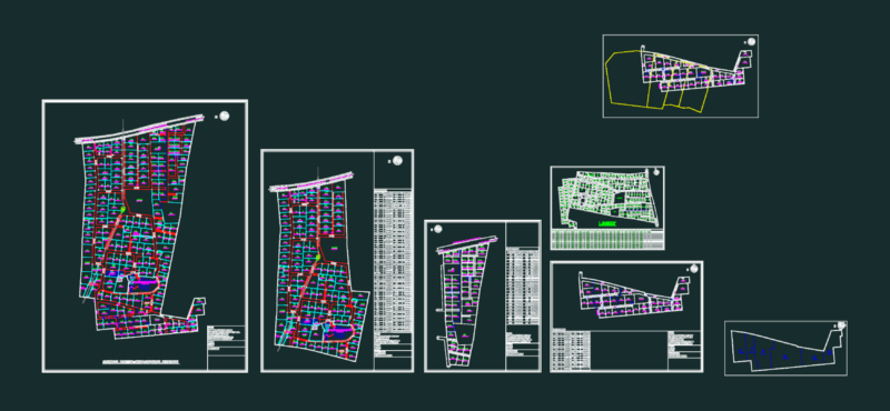
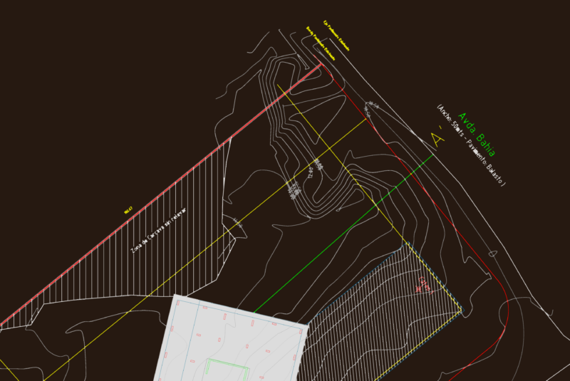
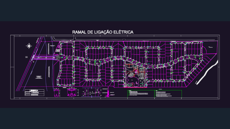
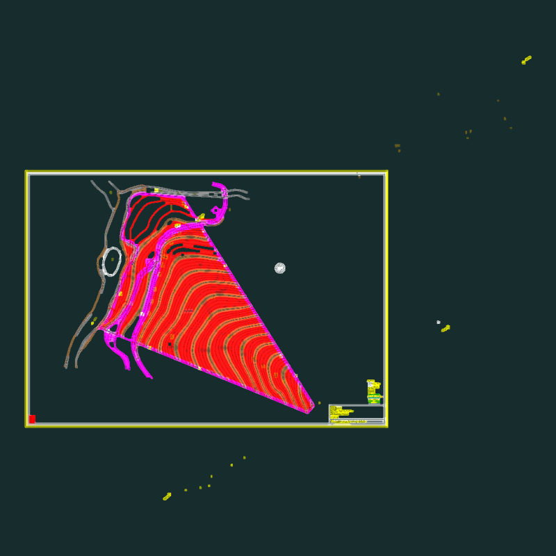
CAD urban planning maps and road design files for Morelia, Michoacán. This technical drawing set includes macro-location and micro-localization plans for various sectors of the city, focusing on urban infrastructure and street connectivity.
The file features standard road paving cross-sections (sección de proyecto tipo) and site-specific layouts for the Industrial City Ecological Park (Parque Ecológico de Ciudad Industrial), Bosques de Oriente, and Las Tarascas. Detailed road project data is provided for Av. San Juanito Itzícuaro and access repairs near the Police Academy (Academia de Policía) and commercial zones.
The street grid documentation covers neighborhoods such as Fuentes de Morelia, Xangari, and La Huerta, showing intersections, tank locations, and public gardens. Plano de macrolocalización y pavimentación.