Rural Property Entitlement Formalization Project – – Ocona, Arequipa, Peru DWG Full Project for AutoCAD
ADVERTISEMENT
ADVERTISEMENT
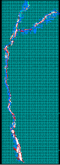
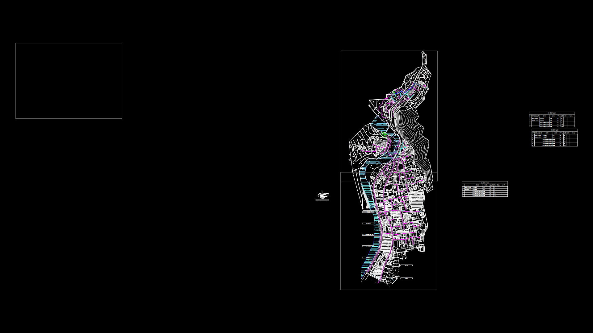
Cadastral base from the Pacific Ocean to the junction of Canyon Basin of Cotahausi, mapped with coordinates utm – – universal transversal mercator. results of peru’s combined special project of entitling rural lands and property records and the agency for formalization of informal ownership – – cofopri – pett. pett cofopri.
Raw text data extracted from CAD file:
| Language | N/A |
| Drawing Type | Full Project |
| Category | City Plans |
| Additional Screenshots | Missing Attachment |
| File Type | dwg |
| Materials | |
| Measurement Units | |
| Footprint Area | |
| Building Features | Car Parking Lot |
| Tags | arequipa, autocad, base, basin, beabsicht, borough level, cadastral, canyon, coordinates, DWG, full, junction, map, PERU, political map, politische landkarte, Project, property, proposed urban, road design, rural, stadtplanung, straßenplanung, urban design, urban plan, zoning |
Related Products

Same Contributor

Featured Products


