Urban Residential Habilitation DWG Section for AutoCAD

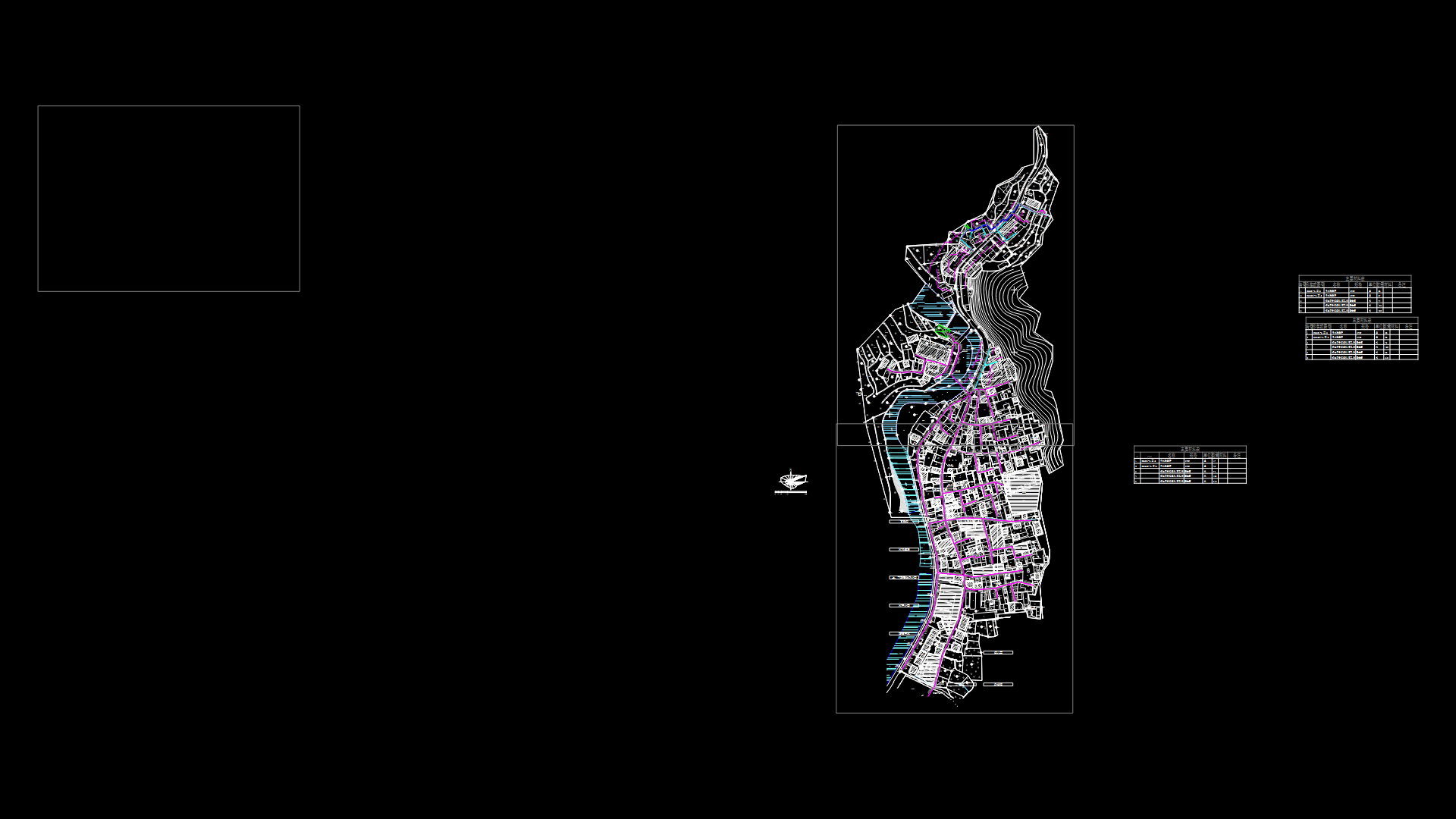
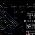
Urban rsidential habilitation located at center of Tacna City – Peru – Plane with divisions in lots – Include road sections of the streets , areas overview with equipment and circulation according to the percentages demanded by peruvian norms
Drawing labels, details, and other text information extracted from the CAD file (Translated from Spanish):
n.m., n.m., total apple, living area, area equipment, flat:, unjbg, sheet, school, San Ignacio, from loyola, area, green, area, green, nursing home, Saint Ana, urbanization, the counts, urbanization, fifth, scale:, section, scale:, section, pedestrian walkway, scale:, section, circulation area, gross area, complementary services, communal service, to sew, education, housing area, public recreation, total area of urban equipment, floor area, description, partial, partial area, total area, general, general table of areas, land property, third-party, land property, third-party, land property, third-party, scale:, section, land property, third-party, mza., lt., area, mza., lt., area, area chart, of apples lots, sir jones street, to sew, education, communal place, recreation, scale:, section, scale:, section, mza., lt., area, housing area, area equipment, total apple, total, flat:, student:, scale:, date:, teacher:, February, draft:, milton edwin coela araca, arq. yon neyra arenas, urban, unjbg, sheet
Raw text data extracted from CAD file:
| Language | Spanish |
| Drawing Type | Section |
| Category | City Plans |
| Additional Screenshots |
 |
| File Type | dwg |
| Materials | |
| Measurement Units | |
| Footprint Area | |
| Building Features | Car Parking Lot |
| Tags | autocad, beabsicht, borough level, center, city, divisions, DWG, habilitation, located, PERU, plane, political map, politische landkarte, proposed urban, residential, road design, section, stadtplanung, straßenplanung, Tacna, urban, urban design, urban plan, zoning |
