Parking & Transportation DWG Plans
Our Transportation & Parking collection holds 640+ DWG files for moving and storing vehicles: car parks, transit stations, terminals, and the circulation that connects them. These are the drawings behind getting there and putting the car somewhere. Read more about this category ▾
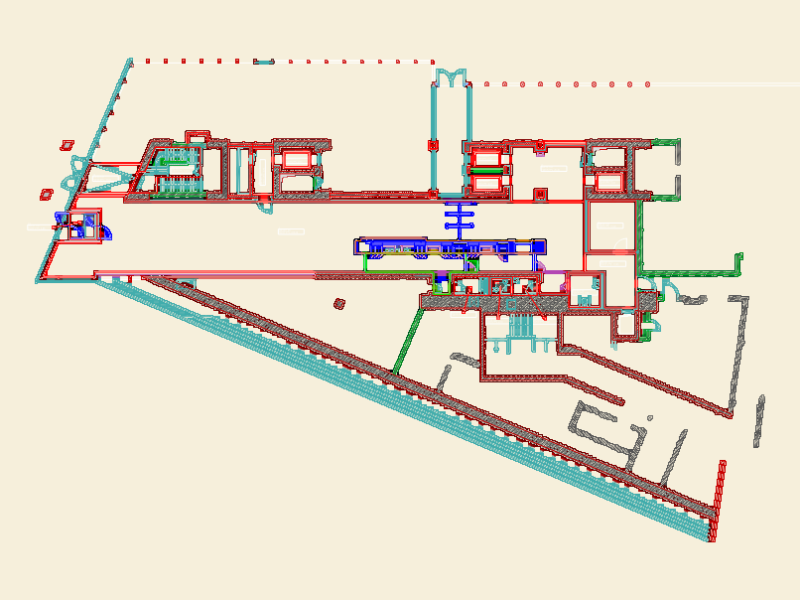
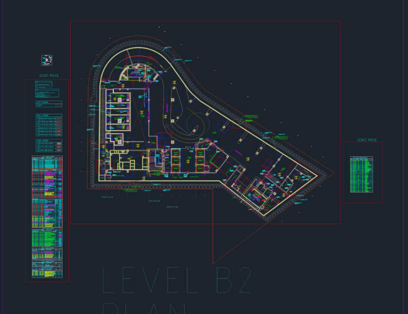
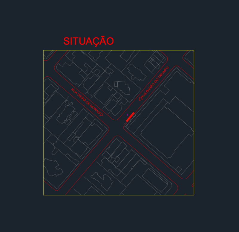
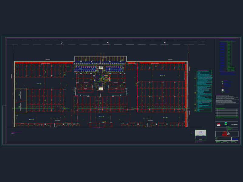
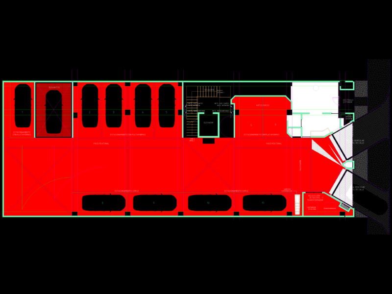

Parking content covers basement and sub-basement parking plans, ground-floor and multi-storey car parks, mechanical car-lift and stacker systems, ramp geometry, bay layouts, and accessible-parking standards. Transit content covers bus and metro stations, railway stations and expansion plans, bus terminals, and station site plans with monitoring and circulation. Related mobility content includes bike-sharing stations and signaling, and vehicle wheelhouse and operational layouts. Many drawings carry the access geometry, turning paths, and zoning these facilities depend on.
Most files are 2D plan DWG drawn to scale with bay dimensions, ramp gradients, and circulation arrows. AutoCAD 2010 or later opens every file. Free downloads cover working parking and station plans; premium files step up to full multi-level facility projects.
Transportation & Parking is part of our broader Public Facilities catalog. Related collections: Roads, Bridges and Dams for the road network, City Plans for site context, Airports for aviation terminals, and Vehicles for car and bus blocks to populate the layouts.